Columbus's Journal of the First Voyage
What the Admiral wrote down, including the distances he hid from his crew.
Columbus's journal of 1492-93 records the departure, the daily runs of the three ships, the false distances he entered to keep his crew calm, and the papal lines of demarcation.
Overview
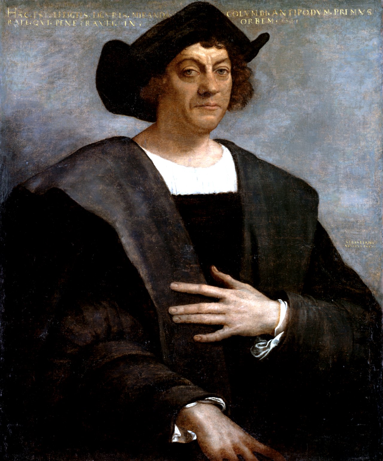
Christopher Columbus kept a journal of his first voyage across the Atlantic, and that journal is the record through which the enterprise is known. The expedition he led comprised three vessels and 1 50 men, a company assembled for a crossing whose length could not be foreseen. What the journal preserves is not merely a narrative of discovery but an account of how the voyage was conducted and reported from day to day, including the navigational reckoning by which the ships' progress was measured and, at times, deliberately misstated. 1The Journal of Christopher Columbus (during his first voyage, 1492-93) and Documents relating to the Voyages of John Cabot and Gaspar Corte Real · Hakluyt Society, London (via Internet Archive) ↗
The journal records the distances run with a care that reveals the commander's awareness of his crew's anxieties. On the first day the ships covered 60 miles, equal to 15 leagues; yet in the record kept for the men he counted only 48 leagues, so that the people might not be alarmed if the voyage should be long. The same practice recurs: on a later night the ships made 120 miles, at the rate of 12 miles an hour, which are 30 leagues, while the day's run of 33 leagues during the day and night was likewise counted less, with only 16 entered for the reason already given. The journal thus preserves two reckonings side by side, the true distance and the reduced figure shown to the company. 1
Beyond the daily reckoning, the journal touches on the wider political frame of the enterprise. It records the papal line drawn 100 leagues west from the Cape Verde Islands, and its later extension to eleven hundred and thirteen miles, or 370 leagues, west of the same islands. These demarcations belong to the diplomatic settlement of the claims arising from the voyage rather than to the sailing itself, yet they are part of what the journal sets down. 1
Taken together, the journal presents the first voyage as an undertaking shaped by calculation and by the management of expectation. The distances were measured, then trimmed in the telling; the men were carried forward on figures that understated the ocean before them. It is this double record, of what was done and what was reported, that gives the journal its value as a document of the voyage. 1
1. Departure
The journal opens the enterprise at its point of origin, naming the place and hour from which the ships took their departure. It was from that anchorage, at the stated hour, that the three vessels and the company of 1 50 men set out, the whole of the expedition committed to the open sea. The journal fixes the moment with the precision of a legal instrument, as though the commander understood that a voyage of such consequence should be dated from a known shore and a known hour. 1
What the record establishes at the outset is the scale of the undertaking: three vessels, and a body of men whose number is given exactly. No detail of the company's composition survives in the passage, nor any account of the provisions or the fitting out; the journal is content to note the ships and the men and to pass on to the water. In this restraint the opening resembles a ship's register more than a narrative, and it is from this bare beginning that the daily reckoning of distances afterwards proceeds. 1
The departure therefore stands as the fixed point against which all later measurement is taken. Once the ships are at sea, the journal turns to the counting of miles and leagues, and the place and hour of sailing recede into the single fact of having left. The reader is given the embarkation and then the ocean, with nothing between them; the journal does not linger on the leave-taking, but treats the departure as a threshold crossed and left behind. 1
In this way the opening of the journal serves the same purpose as its later entries: it establishes a fact without embellishment and leaves the meaning to be gathered from what follows. The place, the hour, the vessels and the men are set down, and the voyage begins. 1
2. Measuring the Sea
Once at sea, the journal reduces the voyage to a running account of distance, and its unit is the league. The reckoning is stated plainly at the outset: a run of 60 miles is entered as equal to 15 leagues, so that the reader is given the conversion by which every later figure is to be understood. Distance on this voyage is thus not a vague impression of progress but a quantity carried in two currencies at once, miles and leagues, and the journal moves between them without comment, as between a measure and its equivalent. 1
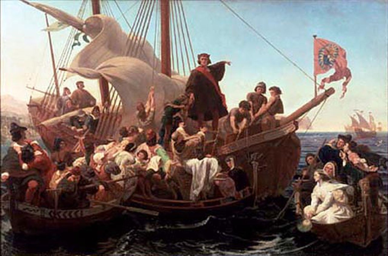
The daily entries show how such quantities accumulated. On one night the ships made 120 miles, at the rate of 12 miles an hour, which are 30 leagues; on another day and night together they made 33 leagues. Speed, where the journal gives it, is expressed as miles in an hour, and the total for a night follows from it by the same arithmetic that governs the rest of the record. The figures are set down as a matter of course, the ordinary business of a commander who counted what the sea gave him. 1
What distinguishes the reckoning, however, is that the journal preserves two accounts of it. The commander counted less than he had measured: against a true run he entered a smaller number of leagues, and the reason is stated without disguise, that the people might not be alarmed if the voyage should be long. The under-counting is not concealed in the record but recorded alongside the true figure, so that the journal holds both the distance made and the distance told. 1
In consequence the measurement of the sea in these pages is as much a matter of managing the company as of navigating the ship. The miles and leagues are real enough, computed by rule and entered day by day; but the number that reached the men was deliberately reduced, and the journal, in setting down both, makes plain that the figures were understood to have an effect on those who heard them. The sea was measured, and the measurement was then edited. 1
3. The False Log
The false log belongs to the same economy of reckoning that governs the whole journal, but it turns that reckoning to a second purpose. Against a first day's run of 60 miles, equal to 15 leagues, the commander entered only 48 leagues, and the journal states his reason plainly: that the people might not be alarmed if the voyage should be long. The figure told to the crew was therefore not the figure measured, and the difference was deliberate. 1
The practice was repeated as the voyage continued. A night run of 120 miles, at the rate of 12 miles an hour, which are 30 leagues, was set down in the journal beside a reduced count; on a day and night together the ships made 33 leagues, and again the entry records a lesser number, 16, for the reason already given. The journal thus preserves two parallel accounts, the distance made and the distance disclosed, and it does not hide the gap between them. The under-counting is not an error to be corrected by a later hand but a fact of the record, entered with its motive attached. 1
What the entries reveal is a commander who understood that distance at sea is felt as much as measured. A long voyage, in the apprehension of a crew, is one that has lasted long, and the number of leagues announced each day was the measure by which that length would be judged. By keeping the announced figure below the true one, he kept the men's sense of the voyage shorter than the voyage was, so that the discovery of how far they had come would not come upon them all at once. The reduction was small in itself, a matter of leagues, but it was applied day after day, and its effect lay in the accumulation. 1
In consequence the journal of the first voyage records not only the sea as it was traversed but the sea as it was reported. The true figures are preserved, the false ones are preserved beside them, and the reason for the difference is set down in the same plain register as the distances themselves. The record therefore holds both the navigation and the management of the men who sailed under it, and leaves the reader to see that the two were kept deliberately apart. 1
4. The Line of Demarcation
The division of the ocean by papal line belongs to the same years as the first voyage and to the same habit of fixing distances by decree. A line was drawn a hundred leagues west of the Cape Verde Islands, and it was afterward extended to eleven hundred and thirteen miles, or 370 leagues, west of the same islands. The unit shifts between the two acts, from leagues to miles and back, yet the point of reference does not: the Cape Verde Islands remain the fixed mark from which the western distance is measured, and the line is moved farther out into the Atlantic by a stated amount. 1
The extension is the significant act, for it converted a modest western limit into a boundary reaching well beyond anything the islands themselves could define. A hundred leagues is a distance a ship might cover in the ordinary course of a voyage; eleven hundred and thirteen miles is a different order of magnitude, and the doubling of the measure in leagues, from one hundred to 370, shows how far the line was carried. In consequence the demarcation ceased to be a local arrangement about islands and became a claim upon open water. 1
The journal of the first voyage is itself preoccupied with exactly this problem, the conversion of leagues into miles and the keeping of two figures where one would serve. The commander's own entries move between the two units, setting 60 miles beside 15 leagues, and 120 miles beside 30 leagues, as though the equivalence were a thing to be stated rather than assumed. The papal line, drawn first in one unit and then in the other, belongs to the same world of reckoning, in which distance is not simply run but declared, and the declaration is what carries authority. 1
What the two drawings of the line therefore share with the journal is the understanding that a boundary on the sea exists only as a figure agreed upon and written down. The line was not discovered by any ship; it was set, first at one distance from the Cape Verde Islands and then at a greater one, and the greater figure superseded the lesser. The journal, which preserves both the distance made and the distance disclosed, keeps a comparable double record, and in both cases the written figure, rather than the water itself, is what governs. 1
5. What the Journal Is
The journal of the first voyage is a record kept by the commander of an enterprise that sailed with three vessels, and its authority rests on his own hand rather than on any later compilation. It is at once a log of distances and a narrative of decisions, and the two are not kept separate: the entries that report the day's run are the same entries in which the commander explains what he chose to disclose. 1
That doubleness is the defining character of the document. The journal preserves the distance actually made and, beside it, the distance entered for the crew's eyes, so that the written record contains both the true figure and the public one. The commander notes the reason plainly: the people were not to be alarmed if the voyage should be long. In consequence the journal is not a neutral tally but a document that shows its own management, and the reader is admitted to the reasoning behind the published number. 1
The authority of the journal lies in this candour. Because the commander set down the lesser count alongside the greater, and stated why he did so, the record carries the weight of an account that does not conceal its own construction. A log that merely reported the reduced figures would command less trust; one that reports both, and names the motive, stands as testimony to the voyage as it was actually conducted and reported. 1
The document is therefore both instrument and witness. It served the practical purpose of navigation, fixing the day's run in leagues and miles, and it serves afterward as the primary account of how those figures were arrived at and how they were presented. What it records is not only the sea crossed but the manner in which the crossing was measured and made known, and it is on that double record that its standing depends. 1
6. Key Facts
| Attribute | Value |
|---|---|
| The expedition | three vessels and 1 50 men 1 |
| First day's run | for 60 miles, equal to 15 leagues 1 |
| Night run and speed | he made 120 miles, at the rate of 12 miles an hour, which are 30 leagues 1 |
| A day's run | they made 33 leagues during the day and night, counting less 1 |
| Line of 1493 | was drawn 100 leagues west from the Cape Verde Islands 1 |
| Line of 1494 | was extended to eleven hundred and thirteen miles (370 leagues) west of the Cape Verde Islands 1 |
7. Frequently asked questions
What is this journal?
Columbus's own record of the first voyage, 1492-93, translated and edited for the Hakluyt Society. 1
How many ships and men sailed?
The journal records three vessels and 150 men. 1
Did Columbus record the true distance?
Sometimes he did not: on one day he made 60 leagues but counted only 48, so the crew would not be alarmed. 1
Where was the papal line drawn?
In 1493 at 100 leagues west of the Cape Verde Islands, and in 1494 it was extended to 370 leagues. 1
8. Timeline
- 1492The fleet leaves the bar of Saltes on the first voyage.The fleet leaves the bar of Saltes on the first voyage.
- 1493The first line of demarcation is drawn 100 leagues west of the Cape Verde Islands.The first line of demarcation is drawn 100 leagues west of the Cape Verde Islands.
- 1494The line is extended to 1,113 miles, or 370 leagues.The line is extended to 1,113 miles, or 370 leagues.
- 1893Markham's edition of the journal is published by the Hakluyt Society.Markham's edition of the journal is published by the Hakluyt Society.
References (1)
- 1The Journal of Christopher Columbus (during his first voyage, 1492-93) and Documents relating to the Voyages of John Cabot and Gaspar Corte Real — Hakluyt Society, London (via Internet Archive) Archive↩View source